
Finding West Sacramento Streets by Address
A street directory search works best as a short record walk. Begin with the exact delivery address, but be ready to switch to an APN when a unit, corner lot, or historic label causes a miss. West Sacramento's Parcel Viewer can show the subject parcel and adjoining polygons. The county assessor adds parcel and mailing clues. The Recorder's General Index then requires the owner's name because it is a party-name index, not a modern street search. Permits and historical sources add dates and context.
- Run the address through the West Sacramento Parcel Viewer and copy the APN, situs, subdivision, and any map clue.
- Check the Yolo Assessor parcel-information route. Keep the assessee, tax mailing address, values, and property characteristics separate from occupancy.
- Click adjoining parcels in the GIS map to define the street segment and record each APN before widening the search.
- Search the current acquisition owner in the Yolo Official Records General Index, then search the grantor as an earlier grantee.
- Use Accela for permit and code activity, an approved election-file route only when eligible, and Archives reverse directories for past listed households.
This sequence turns an address into a set of dated clues. It does not promise a list of everyone at a street. Rely on the custodian for a certified copy or a correction.
West Sacramento Street Address to APN
The APN is the bridge between a street label and the county property record. Start with the physical situs, not a tax mailing location. If the current address fails, remove the apartment or suite, try the street without its suffix or directional, and then use the APN or map click. A condominium may have several APNs at one situs. A multiunit parcel may have one APN and many delivery points. A corner lot may be recorded under a different street from its mailbox.
The city GIS page advertises parcels, zoning, streets, property profiles, schools, parks, fire stations, and City Hall layers. Use the map to locate the shape and neighborhood context. Then verify ownership or assessment facts through the county route. The map is frequently updated, but it is still a visual discovery layer, not a title certificate.
USPS standardization is useful when a house number or ZIP seems inconsistent. The USPS ZIP Code lookup accepts a street address, apartment or suite, city, and state, then returns a standardized delivery address and ZIP+4. ZIP+4 helps normalize the search. It does not identify a resident.
The USPS source also gives the street directory process a clean first check.
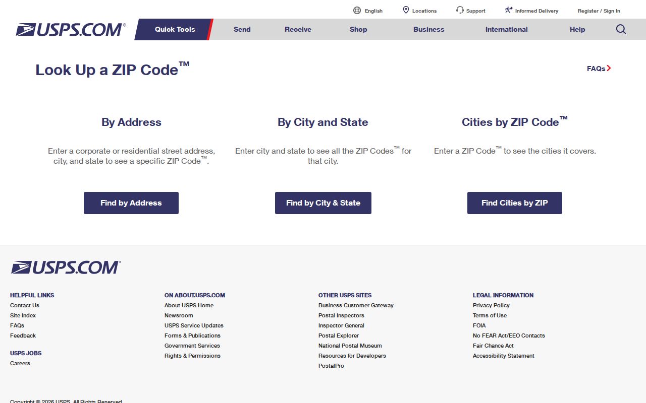
Once the postal form is normalized, compare the same address with the city parcel layer and keep postal geography separate from city limits.
Browse West Sacramento Parcels One by One
For a whole street, map browsing is safer than trying to collect a broad name list. Search the anchor address, zoom until parcel lines appear, click the subject polygon, and then click the parcels that share a boundary or face the same block. Record APN and situs for each. Use the layer list for zoning, streets, schools, parks, fire, and municipal context, but do not turn a layer into a claim about the people who live nearby.
Define “neighbor” before the search. A shared boundary, a parcel across the street, and a fixed radius are different geographic questions. Levees, rail or port parcels, alleys, and waterways can separate close map points. Southport and Bridge District development can also leave new parcel splits or basemap details behind the current assessor record. A recorded subdivision map is the better bridge when the map and an older address disagree.
- Parcel
- A mapped tax and land unit identified by an APN; it may contain one or many delivery points.
- Situs address
- The physical location of the parcel, distinct from the owner's tax mailing address.
- Plat
- A recorded subdivision map that connects lots, blocks, streets, and legal descriptions.
- Criss-cross directory
- A historical directory organized by street and number, often followed by a listed occupant or phone entry.
West Sacramento Records by Street
Address-keyed sources do not all reveal the same kind of household clue. This coverage table keeps the street directory evidence in its lane. The assessor and GIS show land and parcel context. The Recorder shows parties to recorded instruments. Accela shows public project activity. Elections material is restricted, and historical directories show listed occupants only for the volume and year that were actually published.
| Record Set | Keeper | Street-Level Fact | Access |
|---|---|---|---|
| Parcel profile | West Sacramento GIS | APN, situs, zoning, adjoining parcels | Free map browse |
| Assessment roll | Yolo Assessor | Assessee, mailing clue, value, characteristics | Parcel-centered route |
| Recorded documents | Yolo Clerk-Recorder | Owners, secured parties, transfer sequence | Party index; kiosk or order |
| Permits and code | West Sacramento Accela | Project, status, dates, public contacts | Anonymous address/APN search |
| Reverse directory | Yolo Archives or library | Listed occupant or phone by house number | Appointment and year-specific |
| Voter file | Yolo Elections | Street or precinct fields for approved use | Application, ID, fee, restrictions |
The APN can tie a parcel profile to an assessment record and help locate the deed's owner name. It cannot make the Recorder perform a street search, and it cannot turn a mailing address into a residence claim. That distinction is the core of a careful West Sacramento street directory.
West Sacramento ParcelQuest Search Fields
The county parcel-information route is parcel-centered. The page does not promise an unrestricted owner-name web search, in part because California Revenue and Taxation Code section 408 limits certain assessor disclosure and reproduction. Use the address or APN as the main key. If a characteristics report is needed, the 2026 Yolo fee schedule lists $6.75 per parcel.
| Address / Place | Search text or suggested match for the situs. |
|---|---|
| APN | Alternative key; punctuation may not be required. |
| Owner | Restricted or portal-dependent; do not assume open name search. |
| Map click | Identify the parcel polygon and open the property profile. |
| Layers | Parcels, zoning, streets, schools, parks, fire, and city context. |
A typical parcel record can include APN, situs, assessee where legally displayed, tax mailing address, subdivision cues, land and improvement values, tax year or status, and characteristics such as year built or square footage. Mailing and situs are not interchangeable, and characteristics do not establish who occupies a property.
The Yolo Assessor parcel-information page is the access point for the current route. Keep a screenshot or note of the date because parcel data and portal controls can change.
West Sacramento Accela Permit Trail
Accela adds an activity timeline to a street directory search. Anonymous visitors can search Building, Business License, Code Enforcement, Engineering, Fire, and Planning modules. Common controls include record number, start and end dates, street number, street name, street type, direction, unit, parcel number, applicant or organization, and license fields where enabled. Results often show record type, address, description, status, and dates.
Use the permit number or record type to narrow a follow-up. A permit card or final inspection can date a change to an address. A plan set may be subject to copyright and privacy limits, while the city can coordinate supervised viewing. For records that are not visible, request the identifiable address, record class, and date range through NextRequest or the city building counter. Building counter hours are Monday through Friday, 9 to noon and 1 to 4, with phones closed at noon.
The West Sacramento Building Division page gives the published counter and permit contact route.
The permit trail can connect an address to a project or contractor. It does not establish a full occupant roll, and an applicant may not be the owner. Treat every name as a role in a dated record.
The West Sacramento Accela search is the city-side address index.
The Yolo Recorder and assessor fee schedule gives the published cost context for reports and copies.
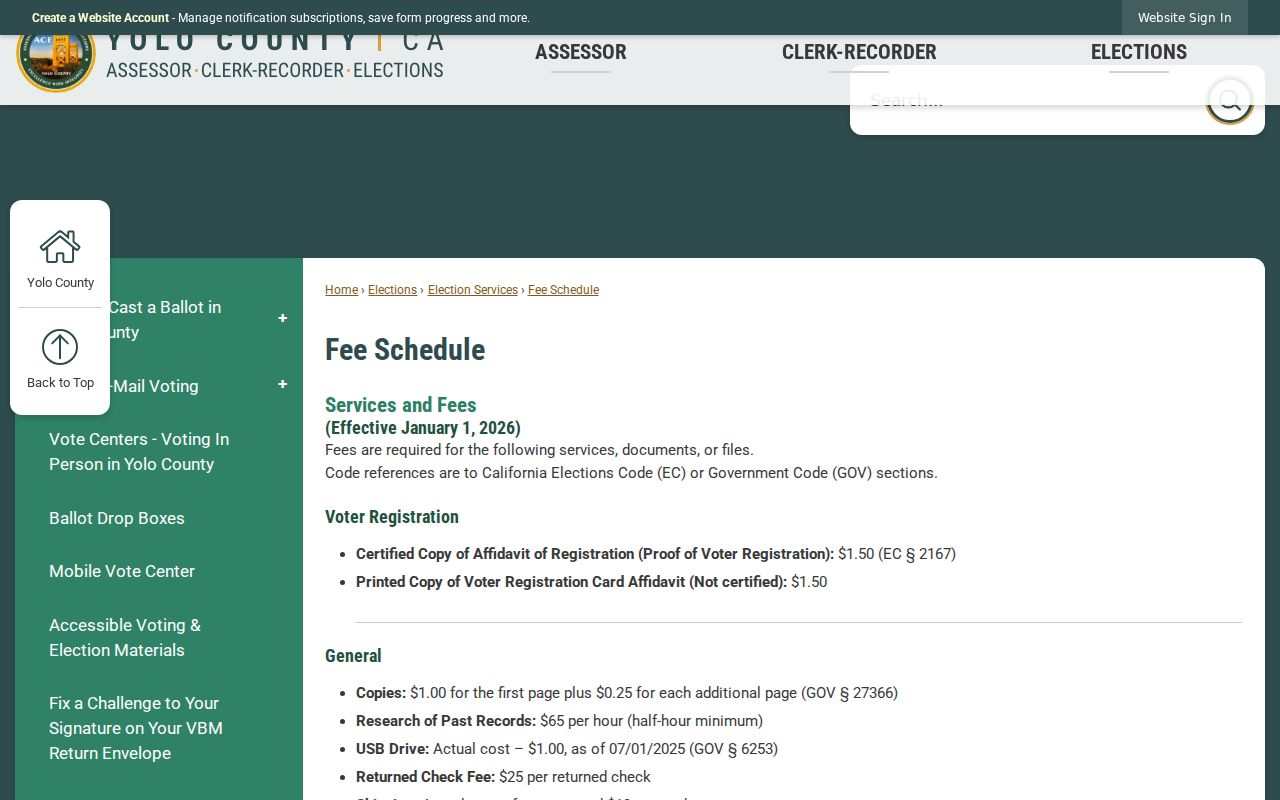
The published fee schedule is a useful reminder to separate free discovery from reports, copies, and other paid access.
West Sacramento Street Deed Chain
The Yolo Official Records General Index is organized around parties. After the parcel or assessor clue supplies an owner name, search that person as grantee to locate the acquisition deed. Then search the deed's grantor as an earlier grantee. Repeat the loop with the exact legal description, instrument number, recording date, and any book or page clue. A grant deed or quitclaim can show a transfer. A deed of trust identifies a loan relationship and is not itself a sale. A reconveyance releases that loan. Liens and maps answer other questions.
The web index is free for discovery. It does not show the image online. Images can be viewed at the Woodland office kiosk at 625 Court Street, or an Official Record Copy can be ordered by email, counter, or phone at 530-666-8130. Recorder staff state that they do not perform searches. Narrow the request before contacting the office.
Preserve spelling, party role, document type, and date. Try initials, former surnames, hyphenation, trust names, and co-owners only after the exact form has been recorded. Recording date is not necessarily execution, sale, or move-in date.
The Yolo Official Records General Index supplies the party search that a street directory needs after the address has produced a name.
| Party name and role | Indexed name as grantor or grantee. |
|---|---|
| Document type | Deed, deed of trust, reconveyance, lien, release, map, or other class. |
| Recording date | Date the instrument entered the recorded index. |
| Instrument number | Stable retrieval key for the recorded item. |
| Book and page | Legacy reference where the index supplies it. |
| Image access | Not exposed on the web result; kiosk view or ordered copy. |
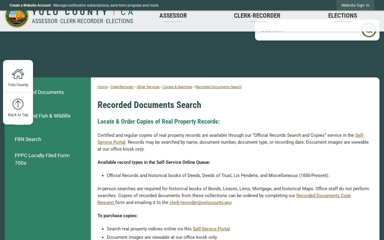
The image-access limit is part of the workflow, not evidence that the recorded document is absent.
Read West Sacramento Streets in Reverse
Historical by-address work moves from the modern street label to its older place name and lot identity. Yolo County Archives holds reverse-directory material, historical maps, subdivision records, assessor rolls, deeds, and newspapers. The official finding aids do not publish a complete West Sacramento publisher and year list, so ask Archives staff for the exact call number and volume before claiming a run. A reverse or criss-cross volume may put the house number and street first, followed by a listed occupant or telephone clue.
Pair a directory year with a federal census year, school census, News-Ledger item, deed, or probate record. Absence in one volume can mean a missing year, publication timing, a boundary label, an unlisted household, or spelling variation. The West Sacramento city directory collections page is the better place to read the historical shelf in depth; the street angle should stay focused on how an address changes the search.
West Sacramento's Historic Street Names
Washington, Broderick, Bryte, and East Yolo are not decorative history terms. They are search keys. Washington was renamed Broderick. After 1900, Bryte, Broderick, and West Sacramento were commonly grouped as East Yolo. The present city incorporated in 1987. A deed, school census, newspaper, or directory can therefore use a label that predates the current city and a street that does not match the modern postal form.
When a current house number fails in the Archives catalog, try the historic community, subdivision, lot or block, current APN, and nearby street. Subdivision records from 1940 to 1989 and the 1959 Broderick structural survey can bridge address changes. No verified official source supplies a citywide street-renumbering year, so use plats and legal descriptions instead of inventing a conversion table.
This historical geography is why a West Sacramento street directory should never rely on a single modern-name query.
What West Sacramento Street Records Cannot Show
Property and permit records are not a household census. Renters, partners, children, and other household members may not appear in the public property trail. DMV residence data is protected by the Driver's Privacy Protection Act. Utility customer lists are not public directories. A reverse directory may list only the name selected by the publisher, and a voter file may be available only to an approved recipient for an approved purpose.
Lawful personal use. Address and parcel records support house history, genealogy, property curiosity, and civic research. Do not use a West Sacramento street directory to stalk, harass, intimidate, threaten, or harm anyone.
If the goal shifts from a whole street to one person, preserve the address clue and use a narrow, independent record check. A current property name is not a claim that the person lives there now.
West Sacramento Voter Data by Street
California My Voter Status is an authenticated self-lookup. It asks for first name, last name, date of birth, and an identity field when prompted. It is not a public street search. Government Code section 7924.000 keeps home address, phone, email, precinct, prior registration, identification numbers, and signature confidential except under the approved access path.
Approved election, scholarly, journalistic, political, governmental, and qualifying lost-heir uses require an application, intended use, requested fields and counties, delivery details, signature, and government photo ID. The research record lists a $15 per thousand state fee up to $100 under regulations, while Yolo's 2026 schedule lists a $70 electronic voter or vote-by-mail file, $0.50 per thousand printed voter-index names, and individual lookups up to 15 per election at $13 per record plus copying. Those charges and conditions belong to the request route, not a casual search box.
West Sacramento's Recorder Kiosk Gap
A useful final check for a street directory is knowing when to leave the screen. The General Index can return the party, role, document type, recording date, instrument number, and book or page. The legal description, signatures, return address, and fuller substance require the document image or copy. The image is available at the Woodland office kiosk or through an order, not through the public web result.
Do not confuse an index hit with a certified copy. Do not confuse a tax roll with a deed. Do not confuse a mailing address with a situs or residence. These small definitions keep a by-address chain accurate even when the public record trail is incomplete.
For a historic house, the Archives reading room is the next fallback. Bring the current or historic address, APN, subdivision or lot, known owner, date span, and desired record groups. Staff can point to call numbers, but the researcher must inspect the item and record its source.