
Looking Up Your West Sacramento Neighbors
A block lookup begins by defining the geography. Choose shared-boundary parcels, parcels across the street, or a stated map radius. Those are different groups. Then use a separate record for each parcel. The GIS viewer can show APN, situs, zoning, and nearby context. The assessor can show an assessee and mailing clue. Accela can show public permit or code activity. Historical directories and Archives records may show a listed occupant for a specific year.
| Source | What It Shows About a Block | Access |
|---|---|---|
| West Sacramento Parcel Viewer | Parcel pattern, APN, situs, zoning, districts | Free map; confirm ownership elsewhere |
| Yolo Assessor | Assessee, mailing clue, value, characteristics | Parcel-centered; section 408 limits apply |
| Accela | Permits, code cases, project status and dates | Anonymous search; plans may need CPRA route |
| Reverse directory | Historically listed occupant by number | Archives or library; exact year needed |
| Approved voter file | Geographic voter fields within approved use | Application, ID, fee, confidentiality |
| Subdivision and Broderick survey | Tract, block, building and development context | Yolo Archives appointment |
This coverage table describes a block's evidence, not a public neighbor roster. A result is useful when its source and date remain visible.
Click Parcels Around One West Sacramento Address
The city Parcel Viewer is the first map step. Search the anchor address, zoom until the parcel lines are clear, click the subject polygon, and record APN and situs. Then click each bordering parcel and record it separately. Use the layer list and basemap for streets, zoning, schools, parks, fire, and other civic context. Pan rather than widening the search across unrelated tracts.
- Define whether the search means shared boundary, opposite side of the block, or a fixed radius.
- Save the subject APN, situs, subdivision clue, and map date.
- Click each selected parcel and make a separate record for APN and address.
- Use the assessor route for parcel facts and the Recorder route only after an owner name is available.
- Add permits, historical directories, or Archives material without calling the map result a household list.
If the viewer offers measure or select tools, those describe geography. They do not reveal household membership. The strongest neighbor lookup keeps map adjacency and person identity in separate columns.
The West Sacramento GIS and Parcel Viewer page is the official map starting point.
West Sacramento Parcel Neighbors and Residents
Assessor data can show an assessee or tax mailing address, but ownership is not occupancy. A mail address outside the parcel may identify an absentee owner, trust, or business relationship. A matching mailing and situs still does not prove that every household member lives there. Renters, partners, children, and other occupants often do not appear in the property trail.
A recorded deed shows grantor, grantee, document type, date, and legal description. It does not say who slept at the address. A permit shows an applicant, contractor, project, inspection, or status. It does not create a household list. A reverse directory shows what a publisher listed in one year. State each role exactly.
- Adjacent parcel
- A parcel sharing a boundary or selected as across the street; it is a map relationship.
- Assessee
- The name associated with an assessment record, which may not be the occupant.
- Mailing address
- The address used for tax correspondence, which can differ from the physical situs.
- Occupancy
- A fact that needs a source designed to record people at a place; it should not be inferred from land records alone.
West Sacramento Block Table, No Scraping
The Recorder's office prohibits scripted or robotic collection, and a broad neighbor list would also blur protected data. Build a small manual table for the selected parcels instead. Record the APN, situs, map relation, assessor clue, permit number, and source date. Search a name only when the record itself supplies a lawful name key. Do not harvest adjacent addresses into a private directory.
| Map relation | Shared boundary, across street, or stated radius. |
|---|---|
| Parcel key | APN and situs from the city or county parcel source. |
| Property clue | Assessee, mailing address, value, or characteristic, labeled as property data. |
| Activity clue | Accela record number, project, status, inspection, or date. |
| People clue | Only a dated, public, role-specific record from the proper custodian. |
That structure keeps official rolls distinct from compiled neighbor tools. A commercial category may merge stale addresses or two people and may have opaque provenance. Official records can also be incomplete, but their custodian and access rule are visible.
| Official block evidence | Compiled neighbor result |
|---|---|
| APN, map relation, date, and named custodian | Mixed sources with unclear freshness |
| Parcel, deed, permit, or approved file role | May imply residence from an address association |
| Correction goes to the originating office | Provider correction does not alter county records |
West Sacramento Permit History by Parcel
West Sacramento Accela can show Building, Business License, Code Enforcement, Engineering, Fire, and Planning records. Search fields can include street number and name, direction, type, unit, APN, date range, record number, applicant, organization, license number, or license type, depending on the module. Results commonly show record type, address, description, status, and dates.
Permit history is useful for a block because it shows construction, inspection, code, or business activity that changes the physical context. A record may contain applicant or contractor names subject to privacy redaction. Approved plan copies may be limited by copyright. For missing records, use the city building counter or a focused NextRequest request naming the address, record type, and date range.
The West Sacramento Accela search is the direct address and parcel channel.
A permit image is a project clue, not a neighbor identity list.
The California voter-confidentiality statute supplies the privacy context for the block search.
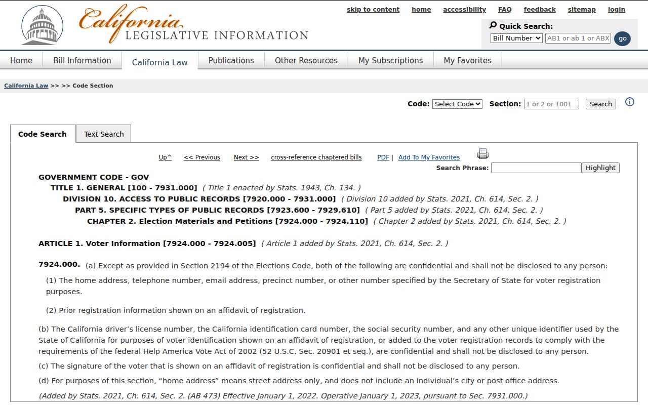
The voter-law source shown with the permit context reinforces that different records answer different questions.
West Sacramento Reverse Directories
For previous neighbors, search Yolo Archives and library holdings for a street-order or criss-cross volume. The official finding aids do not publish an exhaustive West Sacramento publisher and year run, so confirm the specific volume and abbreviation key with staff. A reverse directory can place a listed name beside a house number and help compare nearby entries in the same publication year.
Pair that result with the News-Ledger, federal census, school census, deed, subdivision map, or the 1959 Broderick structural survey. Search Washington, Broderick, Bryte, and East Yolo along with the modern city name. An absence can mean a publication gap, a place-label change, a spelling issue, or an unlisted household.
West Sacramento Voter Files
California My Voter Status is a private self-check, not a public neighbor search. It asks for identity information and returns information to the voter. Government Code section 7924.000 protects address, phone, email, precinct, prior registration, identification numbers, and signature. Elections Code section 2194 provides a controlled request route for approved election, scholarly, journalistic, political, governmental, and qualifying lost-heir purposes.
An approved file application asks for applicant, organization, purpose, counties, fields, delivery, signature, ID, and certifications. Yolo's 2026 schedule lists electronic and printed voter-file charges and individual lookup charges. A street-level project cannot simply browse live voters. Use parcel, deed, permit, reverse-directory, and community records for the block layer.
The California confidentiality statute explains why a neighbor lookup must stop at the public boundary.
Even an official voter-access page does not turn a protected field into a public list.
The California Attorney General privacy guidance describes the separate consumer-data rights that may apply to compiled information.
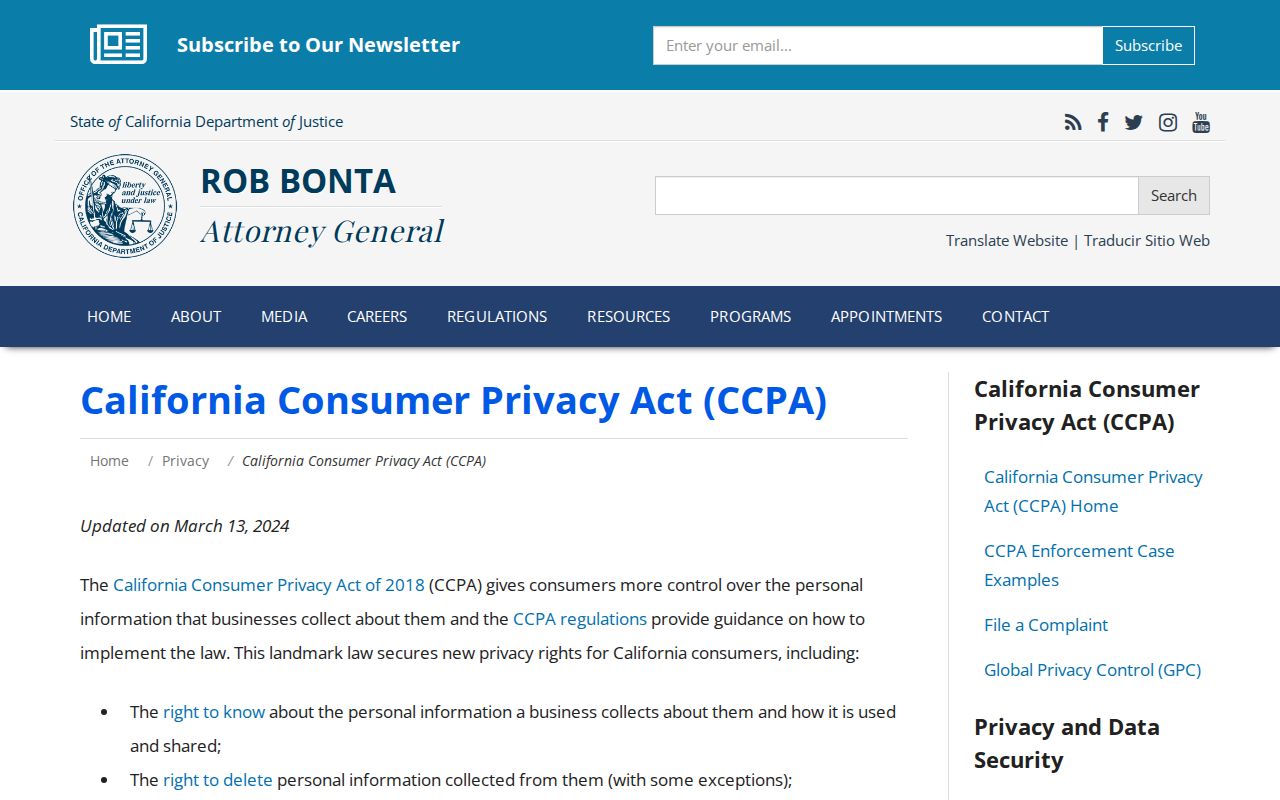
Privacy rights apply to compiled data in addition to the record-specific limits on voter information.
West Sacramento Community Layers
Neighborhood labels can make a block search more precise. Bryte, Broderick, Washington, Old West Sacramento, Southport, Bridge District, and Riverfront describe meaningful historic or development contexts. The city's Parks and Recreation neighborhood and community-engagement page is the starting point for current civic contacts. No official source in the research guarantees a complete association-by-neighborhood roster or public member directory.
| Community source | What It Adds | Access Note |
|---|---|---|
| City neighborhood engagement | Program and contact starting point | Use the city page for current details |
| West Sacramento Improvement Club | Names and activities, 1929-1937 | Yolo Archives appointment |
| Citizens for Better Water | Civic participants and issues, 1974-1980 | Yolo Archives appointment |
| Broderick Church of the Good Shepherd | Church community evidence, 1948-1969 | Yolo Archives appointment |
A club list or church record is a community clue, not proof that someone still lives on the block. A published officer contact can be used for civic communication while private membership remains private.
What Protected West Sacramento Residents Keep Private
California Safe at Home provides qualifying participants with a substitute mailing address and mail forwarding. Confidential voter registration can follow. Courts may seal or redact specific files. Adoption and juvenile records are restricted. DMV residence information and utility customer data are not public neighbor sources. A parcel legal description may remain public even when a person uses a protected mailing address.
California's consumer privacy law and the Delete Act give certain rights against covered businesses and data brokers. They do not compel Yolo County or West Sacramento to erase a lawful deed, case file, permit, or assessor original. A correction or deletion request belongs with the data custodian that created the record.
Qualifying participants can review the California Safe at Home program for substitute-address and confidential-registration information.
The California privacy guidance below is relevant to compiled data, while original public records follow their own statutes and access rules.
The California DROP implementation page is the source for the data-broker deletion reference.
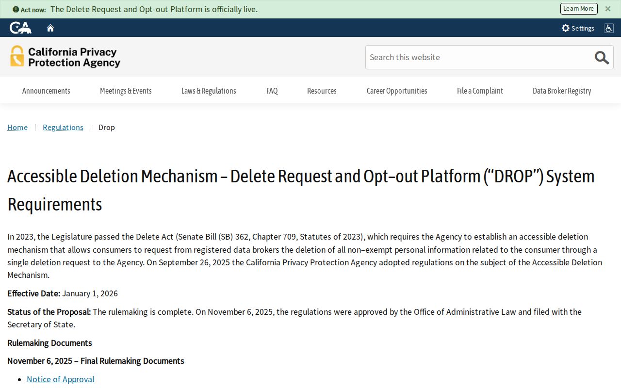
The state deletion mechanism can reduce commercial exposure without changing a county record.
Identity theft or harassment concerns should go to the proper reporting channel, not to a neighborhood list.
The Federal identity-theft reporting route is the appropriate source for an identity-theft report.
A lawful block search ends when the next step would expose protected data or create a harmful profile.
West Sacramento GIS Context
Zoning, schools, parks, fire stations, streets, levees, rail, port parcels, and waterways make a block legible without naming every person near it. The city GIS layer can explain why two close points sit in different subdivisions or why a parcel looks adjacent but has no shared boundary. The assessor, Recorder, Accela, Archives, and community collections can then answer separate, dated questions.
Lawful personal use. Neighbor research is for civic context, genealogy, community contact, and personal safety. Do not use a West Sacramento neighbor lookup to stalk, harass, threaten, intimidate, or harm anyone.
For a whole named street, use the West Sacramento street-by-address workflow. The block method here should remain small, manual, source-labeled, and respectful of people who are not visible in a public parcel record.