
Sources for Previous Residents of West Sacramento
Past-resident research works when the source, date, and address role are kept distinct. A deed documents a transfer. An assessor roll documents an assessee or mailing clue. A directory can list an occupant. A census can show household relationships. A newspaper can supply an obituary or event. Yolo County Archives is the bridge for older material, while the current Clerk-Recorder, Assessor, city, and court systems handle newer records.
| Source | Years It Covers | Where Held | What It Shows |
|---|---|---|---|
| Recorder General Index | Online start not stated | Clerk-Recorder portal | Parties, role, type, date, instrument or book-page clue |
| Deeds and deed indexes | ca. 1850s forward | Recorder and Archives | Chain of title and legal description |
| Assessor rolls and maps | ca. 1850s-1970s historical | Archives and Assessor | Assessee, values, parcel geography |
| West Sacramento Land Company | 1907-1972 | Yolo County Archives | Purchases, title abstracts, maps, development |
| Broderick structural survey | 1959 | Yolo County Archives | Building and neighborhood context |
| News-Ledger | Microfilm 1964-1994; print 1971-2024 | Archives | Occupants, obituaries, sales and social events |
| School census and federal census | 1867-1910; through 1950 open | Archives and NARA/library | Household relationships and geography |
Coverage is uneven by address and year. A missing online hit does not mean the record never existed.
West Sacramento's Current APN and Past Residents
Use the city Parcel Viewer for visual discovery and the Yolo parcel-information route for the county property clue. Copy the APN, physical situs, legal-description or subdivision cue, assessee, and separate tax mailing address. The APN is the indexing bridge. A mailing address can be outside West Sacramento, and an owner can be absent from the property. Neither field alone identifies every past resident.
Once the current parcel is anchored, look for the current acquisition deed by searching the owner's name as grantee. Preserve the exact instrument number, recording date, legal description, and co-party. If the parcel was split or merged, note both APNs and consult the recorded map. A street number may change while the legal lot remains legible.
- APN
- The assessor's parcel key used to connect a map, roll, and property profile.
- Legal description
- The recorded lot, block, subdivision, or metes-and-bounds identity that can outlast a street label.
- Situs
- The physical parcel location, distinct from the owner's tax mailing address.
West Sacramento Deed Chain for Previous Residents
The Yolo Recorder index is party-name based. It does not search a street in the way a modern parcel viewer does. Start with the current owner's acquisition deed. Read the grantor, then search that seller as grantee in an earlier instrument. Repeat the loop. The chain of title is a sequence of recorded transfers, not a list of occupants.
- Find the current assessee or owner clue in the parcel record and copy exact spelling.
- Search the name as grantee in the Official Records General Index.
- Record instrument number, document type, recording date, co-parties, and legal-description cues.
- Search the grantor as an earlier grantee, trying former names, initials, and trust or entity forms.
- Use the legal description and subdivision map to confirm that the chain follows the same land.
A grant deed or quitclaim can show a transfer. A deed of trust is a loan document, not necessarily a sale. A reconveyance releases that loan. A lien or judgment associates a party with a claim. Recording date is not a move-in date. The index supplies discovery; the image supplies the full legal context.
West Sacramento Kiosk and Archives Records
The Recorder's online General Index does not state its first web year and does not expose document images online. Images can be viewed at the 625 Court Street Woodland kiosk, or an Official Record Copy can be ordered by counter, email, or phone at 530-666-8130. Recorder staff do not perform open-ended searches. Bring the party name, instrument number, date range, and legal-description clue.
For the earlier layer, make a Yolo Archives appointment. The Archives is at 226 Buckeye Street, Woodland, and the research record lists Tuesday 9 to 1 and Thursday noon to 4 appointment hours. Ask for deeds, assessor rolls, maps, subdivision records, Land Company material, News-Ledger, and any reverse-directory or local-history item tied to the address.
The image-access boundary is an insider fact in a previous residents search. A blank web image is not proof that the deed is lost.
The Recorder's official instructions show the online-to-kiosk path.
The California voter-file request guidance shows a separate, restricted access channel.
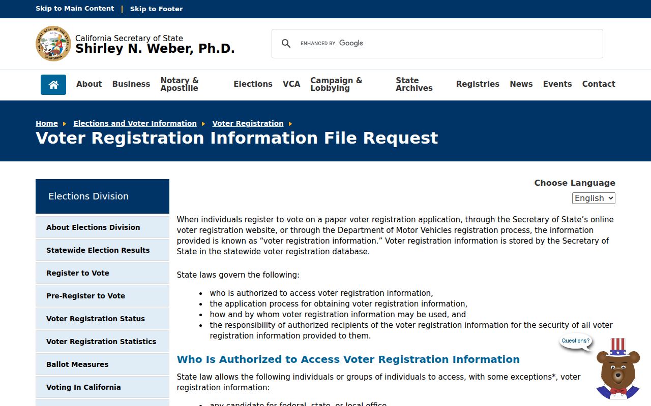
The voter-file source is a reminder that not every potentially useful record is open for a house-history search.
The California Elections Code voter-information rule is the source for the restricted-access example.
The Secretary of State's voter-access regulations explain approved uses, ID documentation, and fees.
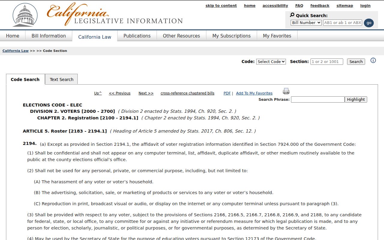
Historical address work must use the open deed, map, directory, census, and newspaper channels rather than bypassing protected voter fields.
West Sacramento's 1850s-1970s Deed Records
Yolo County Archives holds government and donated records from the 1850s to the present. Historical assessor rolls and maps, deed indexes, road books, and subdivision material can fill the years before current parcel portals. Road record books run from the 1850s through 1943. The West Sacramento brochure describes land and tax sources reaching roughly from the 1850s into the 1970s.
Use these materials to answer land questions first. A roll may name an assessee or show value. A map may show a lot, road, or tract. A deed may show the legal transfer. None is automatically a household census. Add directory, school, newspaper, probate, or vital evidence for the people layer.
The Archives catalog, Online Archive of California, California Revealed, library catalog, and digitized county books are discovery routes. Reading-room items do not circulate, and an appointment helps staff locate the correct volume.
West Sacramento Land Company, 1907 to 1972
The West Sacramento Land Company collection is unusually useful for previous residents and address history. It includes purchase records, title abstracts, financial reports, maps, photographs, clippings, and Turner family material. Those records can explain how a tract formed and connect a person to a purchase or development phase when the deed chain is difficult to follow.
Use the collection title and item identifier supplied by Archives staff. Compare a purchase record with the Recorder index, assessor map, subdivision record, and a local newspaper. A Land Company document may show a purchaser or investor, not a person who occupied the house. It is strongest as a dated property and development clue.
For a current parcel that grew out of a company tract, the Land Company material can shorten the backward trail without replacing the legal deed record.
West Sacramento's 1959 Broderick Survey
The Yolo Redevelopment Agency structural survey of Broderick from 1959 is a rare block and building-era source. Pair it with assessor maps, deeds, subdivision records, 1960-adjacent directories when found, and News-Ledger items. It may provide building condition and neighborhood context at a time when the modern city name was not yet the main catalog label.
The survey is not a resident roll. A building description can support address continuity, but occupancy still needs a directory, census, newspaper, school, or family record. Its value is the bridge between a physical structure and the name changes around Washington, Broderick, Bryte, and East Yolo.
West Sacramento School Census Records
The Marshall school census reaches families that a business-oriented city directory may omit. It can place children and households in the area from 1867 through 1910. Teacher and principal reports from 1865 through 1949 add named education personnel and assignments. Use the school record with a deed, assessor map, newspaper, church collection, or family record to connect a household to a place.
School census evidence is especially useful for early West Sacramento research because older records may use East Yolo, Washington, Broderick, or Bryte. A child's name can lead to a parent, then to a land or probate record. It should not be expanded into a current-family claim.
West Sacramento News-Ledger Records
The News-Ledger's microfilm run from 1964 to 1994 and print run from 1971 to 2024 can close a previous-resident chain. Search the exact name, spouse, street, organization, and historic place label. An obituary may name survivors, former addresses, occupations, or a community group. An anniversary or club item may place a household between formal directory years.
Use the newspaper as a lead and check the court, vital, deed, cemetery, school, or Archives source. A notice can contain a typo or a family shorthand. The Archives also holds West Sacramento Improvement Club records from 1929 to 1937, Citizens for Better Water from 1974 to 1980, and Broderick Church of the Good Shepherd records from 1948 to 1969.
West Sacramento Maps Bridge Past Addresses
Before concluding that an address has no previous residents, compare its current APN and legal description with subdivision and assessor maps. Subdivision records from 1940 to 1989 can show tract, lot, block, and street formation. A street label may have changed, a parcel may have split, or the same land may have been described by a lot rather than a house number.
Historic geography adds another layer. Washington became Broderick, and Bryte, Broderick, and West Sacramento were grouped as East Yolo after 1900. No official source in the research file verifies a citywide street-renumbering year. Use maps, plats, deeds, and the Archives catalog rather than inventing a conversion.
Once the historic parcel is identified, the directory and newspaper search can be repeated under the older community name.
West Sacramento Directories and Census Records
Directory entries show a listed name and address for a publication year. Federal census schedules show household relationships and geography. The 72-year release rule makes 1950 the latest open census year in the research record, with 1960 due in 2032. Pair the nearest available directory with the matching census, then fill the intervening years with deeds, school census, newspaper, probate, or vital evidence. For a current copy request, check the CDPH 2026 vital-record fee notice and confirm the county's current schedule.
The collection itself is described in the West Sacramento city directory archive. When a name disappears, test move, death, publication gap, place-label change, and unlisted-household explanations. Never treat a single missing year as a departure date.
West Sacramento Sanborn Research Gap
The research file found no verified West Sacramento-specific Sanborn map year. Sanborn maps can show building footprint, use, and materials, but no local sheet should be claimed until Archives or another authoritative repository confirms it. Davis or Woodland maps are not substitutes for a West Sacramento address.
The safer fallback is a subdivision map, assessor map, 1959 Broderick survey, deed legal description, Land Company record, or Archives photograph. These sources may not answer every occupancy question, but they preserve the actual local trail and make a later directory search more precise.
House-history use. Previous-resident research is for family history, property history, and lawful personal curiosity. Do not use an old address trail to stalk, harass, threaten, or harm a living person.